It was time to make a second attempt at the summit of the tallest point of the state of Virginia. Just this past spring, we made plans to summit Mount Rogers and were met with 30 degree weather and 50 mph winds. We may have been able to tough it out that day if we did not have our 3 and 4 year old with us, but we were not necessarily prepared for the weather completely. Needless to say, we abandoned any thoughts of bagging this peak in those weather conditions.
Fast forward to July 26th. It was a hike date with my wife, Wander Woman that we were both looking forward to. No kids this time, so we could really up the mileage that we normally do as a family. We reached Grayson Highlands State Park at 10:00 AM to a very comfortable 72 degrees. The morning fog had just lifted to expose partly cloudy skies and there was a nice cool breeze blowing through the park.
We started from the parking area at Massie Gap, where we basically crossed the field to join the trail head for Rhododendron Trail. We passed through the gate and headed up the .8 mile trail. Almost immediately, we found ourselves surrounded by large blueberry bushes and blackberry bushes.
There is a crossroads at the end of this trail that lets you either take a connector trail to the Appalachian Trail (AT) or you can follow the bridal trail. Both lead you to the gate of the park boundary, but we decided to take the bridal trail on our way out. Either way it is only about .25 miles to the gate leading you out of the state park.
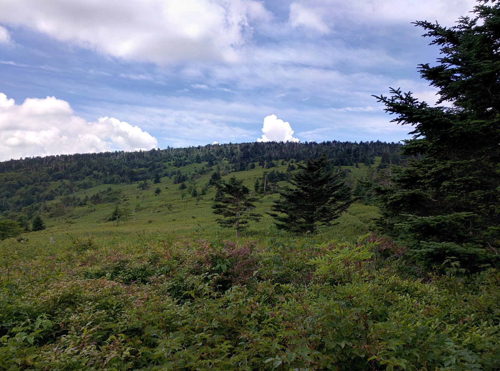
Once through the gate, we hiked south on the AT. It is very well marked in this area with white blazes. Quickly, we were navigating through the open balds on the rocky path of the AT. The views are absolutely stunning in this area and as we headed over the first pass we stopped to take in the view and chat with a Virginia Tech student that was up to film the wild ponies.
Unfortunately for him, if he had only hiked .25 - .5 miles further he would have met one of the herds of wild ponies that roam these balds. A mother and what appeared to be her colt were meandering along the trail, heads down, grazing on the grasses of the mountain. The mother actually looked pregnant to us, but I could not confirm this. Soon, the rest of the herd appeared and many more mothers with young ponies in tow. I have to say, it feels very different to hike into a herd of wild animals that are not spooked really when they see you. They didn't seem to mind us coming in close for photos, but I fear it is due to humans feeding them that they have become conditioned to us.
 |
| Pregnant? |
 |
| One of the many young ponies we met on our trek. |
After our romp with the wild ponies, we continued on the AT through Rhododendron Gap. You can take the Wilburn Ridge trail instead if you prefer more of a rock scramble. The Wilburn Ridge Trail joins back to the AT after about a mile.
This area of Rhododendron Gap offers more breathtaking views and I highly recommend climbing up the large pinnacle rock to get a panoramic view of the gorgeous landscape.
We followed the white blazes of the AT a while longer through the Crest Zone. A little more than 4 miles into the hike we came to the Thomas Knob Shelter. This was the perfect spot for a lunch break. I highly recommend going behind the shelter out onto the rocks for the best view. This is a pretty big shelter with a second floor that you can reach by ladder. There are also numerous surrounding areas that are obviously carved out by through hikers and over-nighters into perfect campsites. You can see a large grove of blueberry bushes that look to span miles from behind the shelter.

After a quick bite to eat, we continued on the AT for approximately .25 miles and met the Mount Rogers Spur Trail. Here, we left the AT and hiked the .5 miles to the summit of Mount Rogers. It is not a typical peak climb. Here you actually climb into the treeline instead of out of the treeline to a bald summit. It is almost magical when you leave the AT on this trail as you quickly enter a more rainforest-like atmosphere. Deep green hues provided by the moss and ferns on the ground. Numerous mushrooms cover the floor of this forest.
 |
| The false summit with arrow pointing towards the true summit. |
At the summit, if you haven't done a little research you would easily miss the summit. There are two rock outcroppings about 100 feet from each other. Both have a USGS benchmark in the stone, but one has an arrow stamped into it pointing towards the other marker.
 |
| The true marker of the summit of Mount Rogers. |
The summit does not provide panoramic views of the surrounding valleys and peaks. It is buried deep in the forest and does not resemble a typical peak of a mountain. Much less, the peak of the highest state point of Virginia.
 |
| The peak of Mount Rogers from below the treeline. |
The only thing that could have made our trek better was if we did not have to come back down. But, the hike back to the car was just as invigorating as the climb up. We knew that we could see the wild ponies again. All of the gaps and peaks we climbed up to we could now appreciate the views as we made the descent.
Wandering Notes:
Distance = 10 miles according to my GPS tracker
Elevation Change = Around 1100 to 1200 feet
Difficulty = It is actually not a strenuous climb at all. The distance poses the biggest challenge for most. The rocks can be an obstacle for weak ankles, but not difficult to navigate at all. It is a good family hike with lots of great rest stops with beautiful scenery. We averaged a little less than 30 minutes per mile, but really took our time.
Grayson Highlands State Park = A beautiful park with trails, camping, equestrian stables, and a large picnic area that is top notch. Day parking is $4 on weekdays and $5 on weekends and holidays.
Grayson Highlands State Park
 |
| Wander Woman |
 |
| Trail register |
 |
| Looking back into Grayson Highlands State Park after crossing out of the park's boundary |
 |
| The bridal trail in Grayson Highlands State Park |